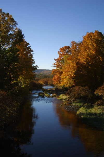
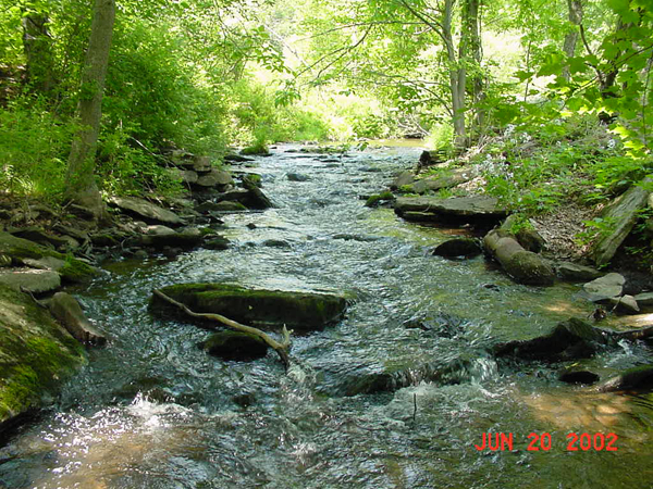
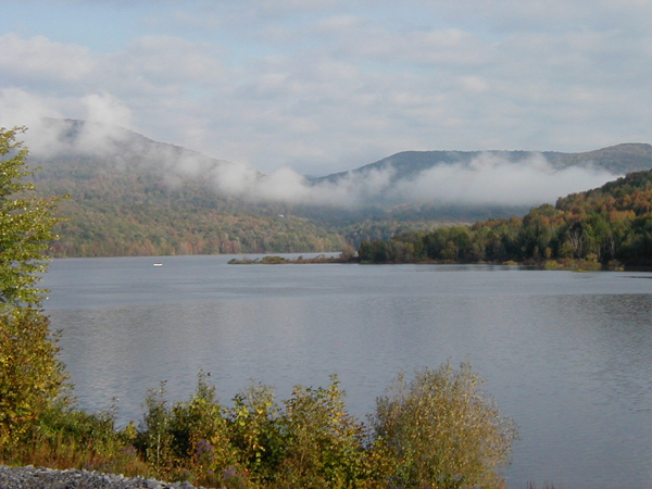
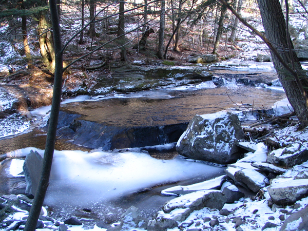
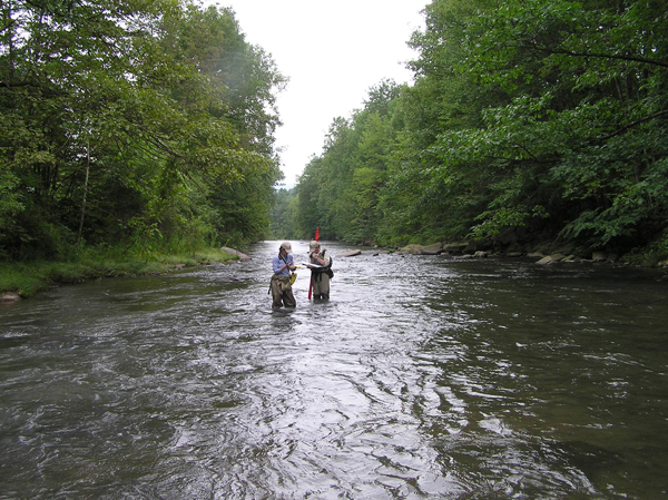
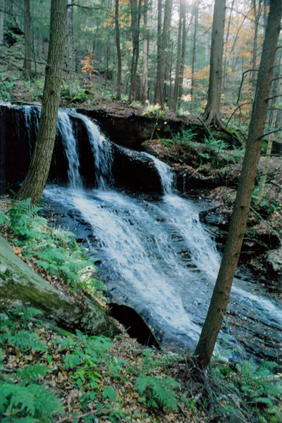
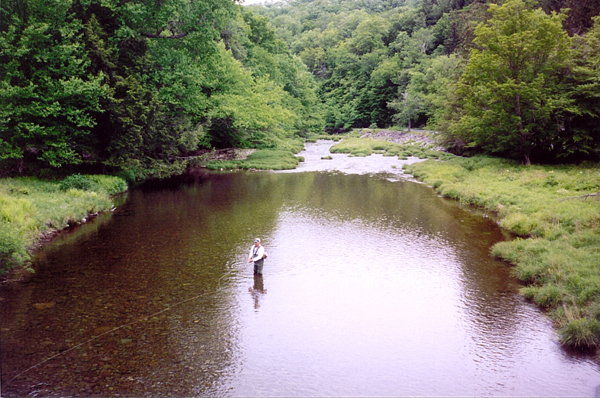
West Branch Delaware River
Stream Restoration Projects in the West Branch of the Delaware River Watershed
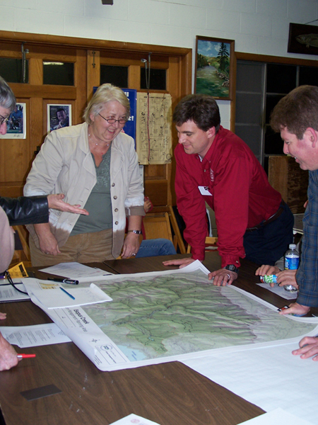
Intro to Stream Management Plans
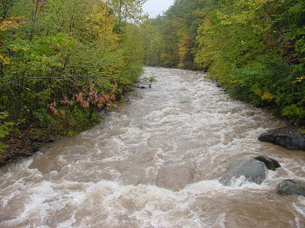
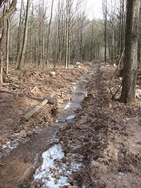
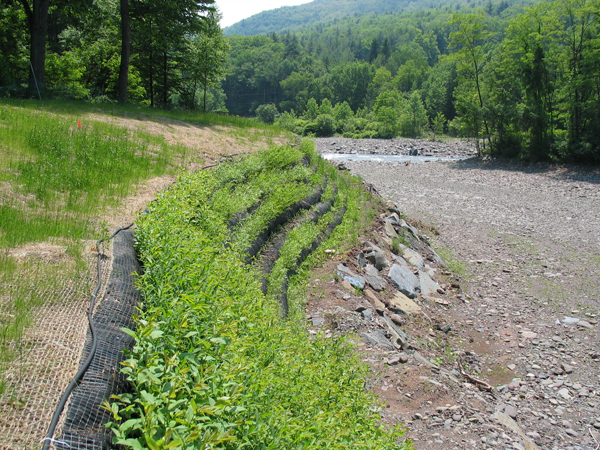
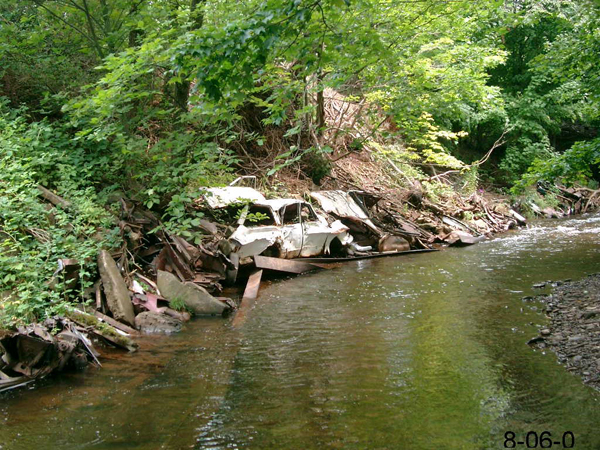
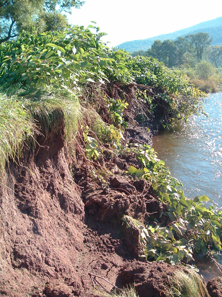
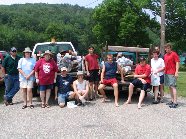
Click on photos below for enlargements:
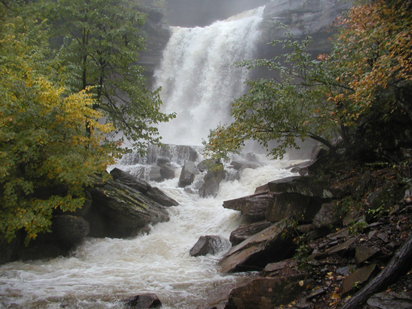
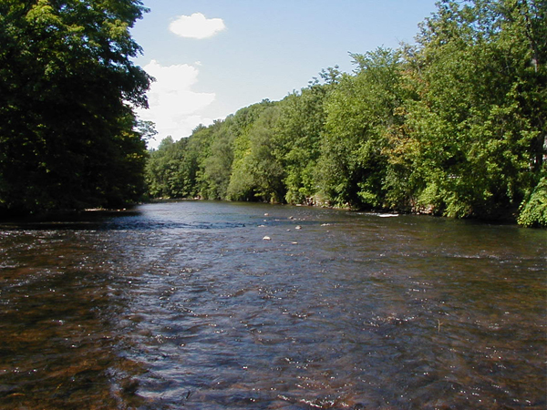
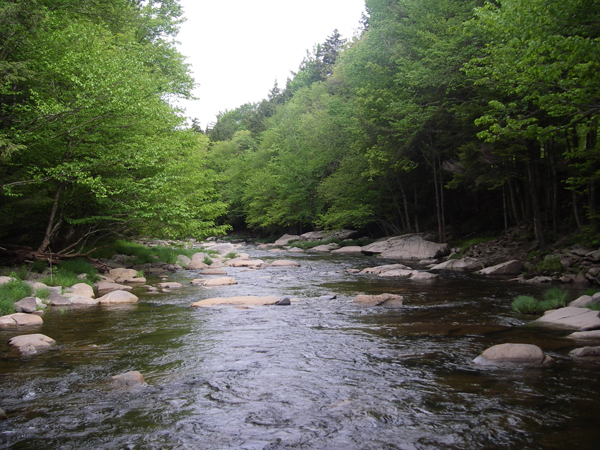
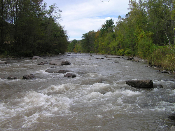
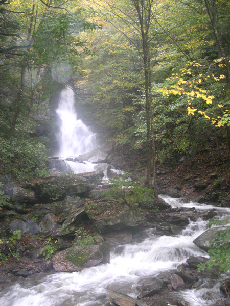
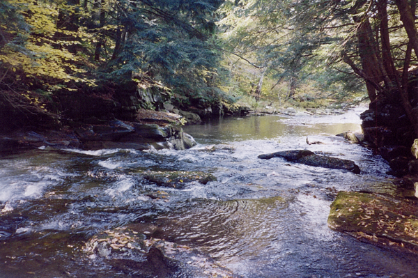
East Branch Delaware River
Intro to Stream Management Plans
Watershed Overview
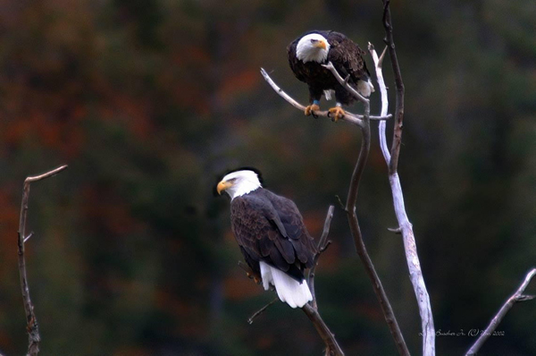
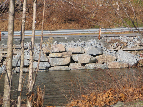
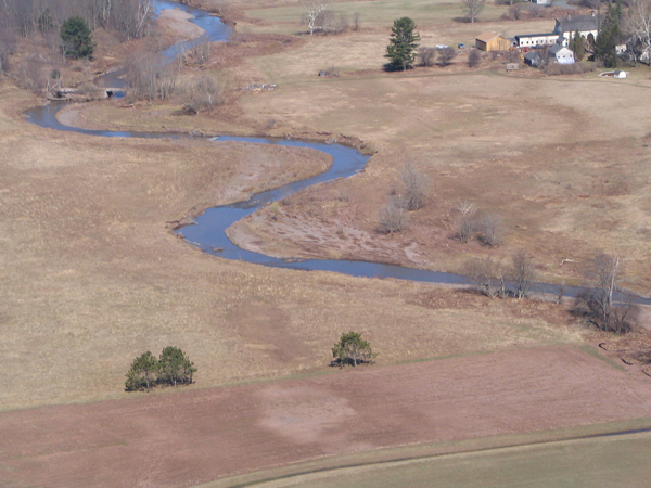
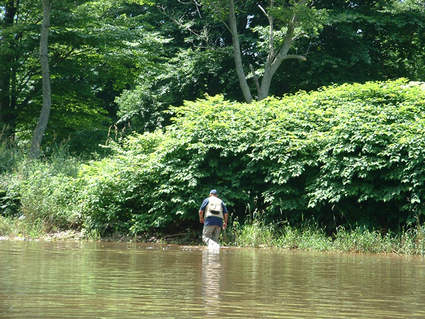
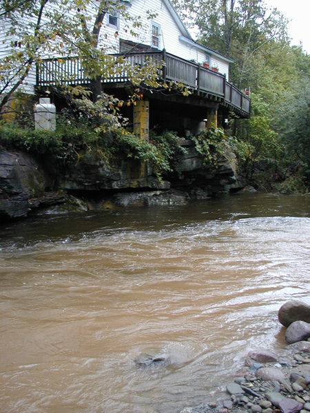
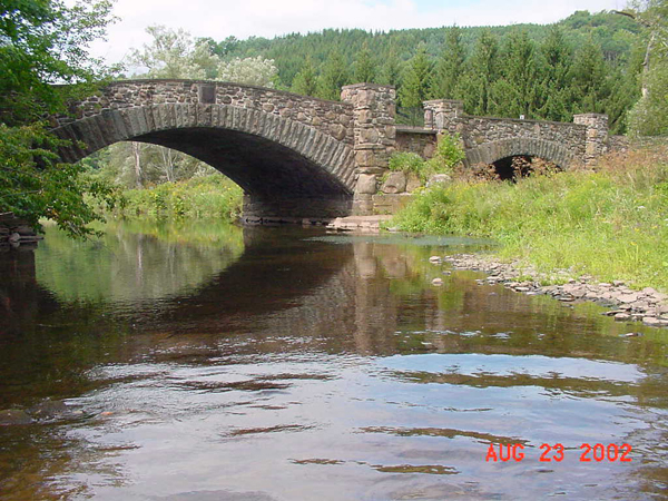
Click on photos below for enlargements:
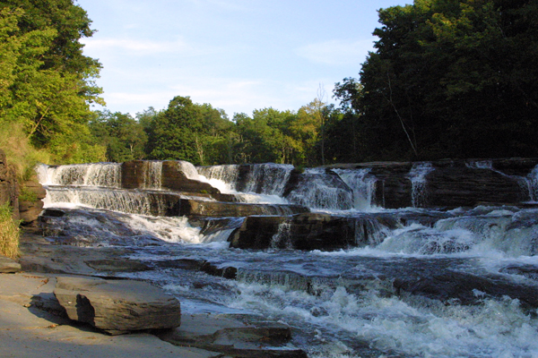
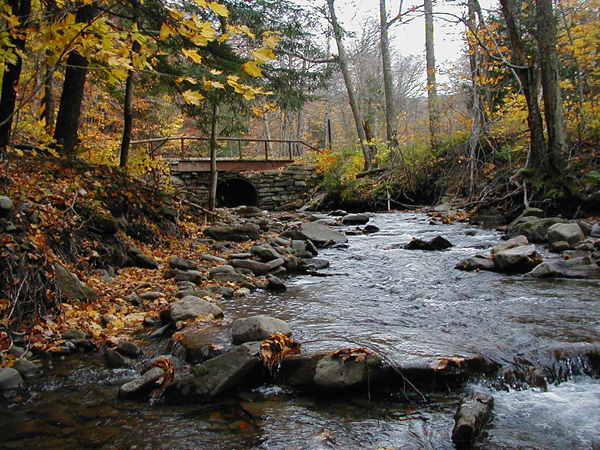
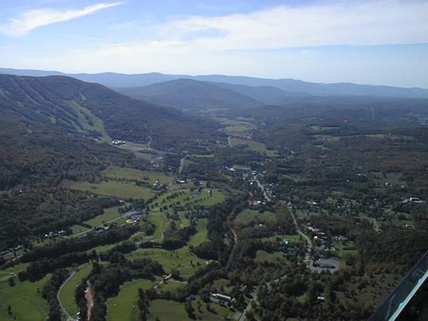
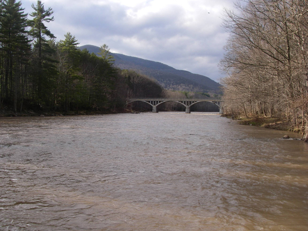
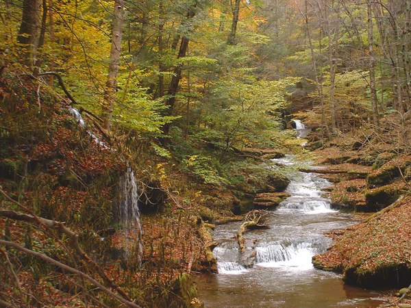
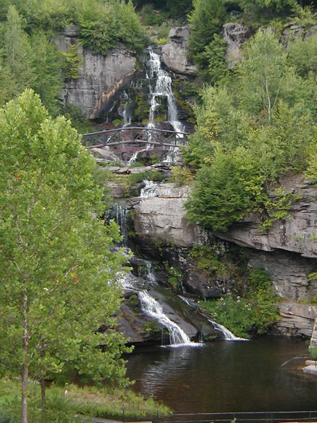
Schoharie Creek
Maps:
Batavia Kill Fishing Easement Map
East Kill – Fishing Easement Map
East Kill Recreational Assets
Schoharie Recreational Assets
Schoharie Creek Fishing Easement Map
West Kill Fishing Easement Map
The United States Geological Survey
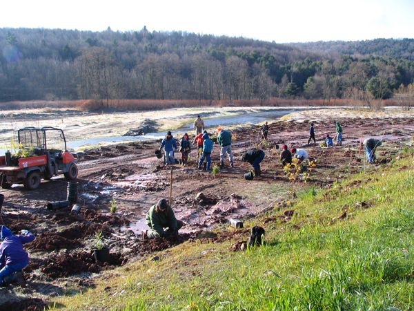
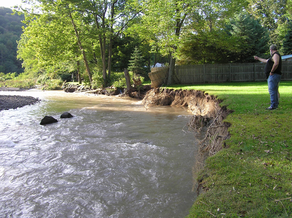
Demonstration Restoration Projects:
Batavia
Kill: Ashland Project Report
West
Kill: R.A. Hill Stables Demonstration Project Report (file size 9 MB)
West
Kill: Westkill Stream Restoration Demonstration Project Report
East
Kill: East Kill Farber Farm Restoration Project Report
Schoharie
Creek: 2007 Proposed Schoharie Projects
Intro to Stream Management Plans
Effectiveness
of Stream Restoration in Reducing Stream Bank Erosion: The
Case of Batavia Kill Stream Restoration Projects, New York
(Chen, Y. et al., 2005)
Summary
of Schoharie Wildlife and Fishery
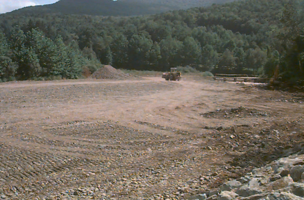
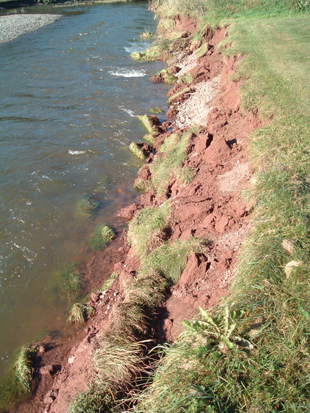
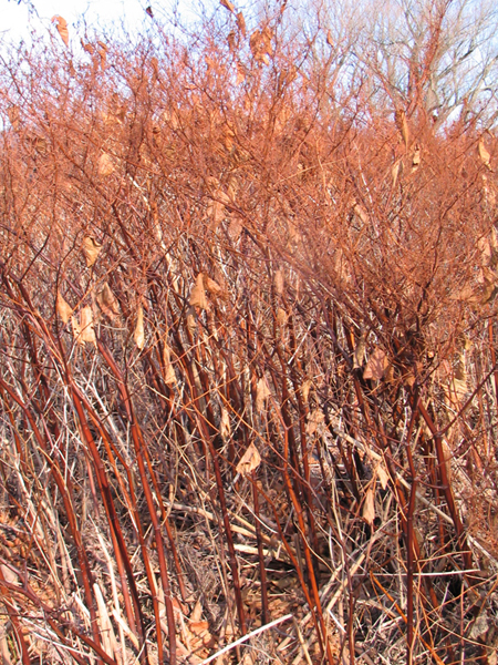
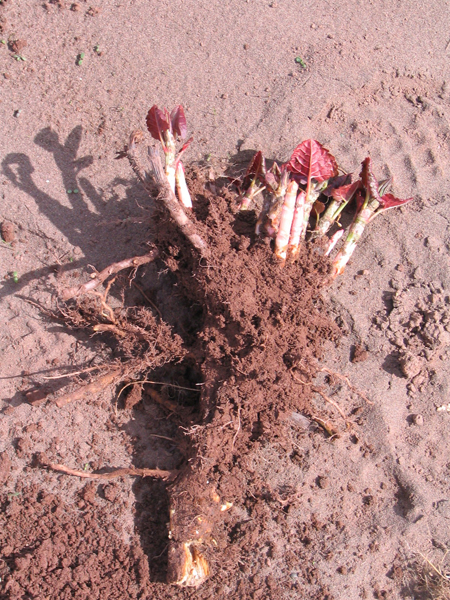
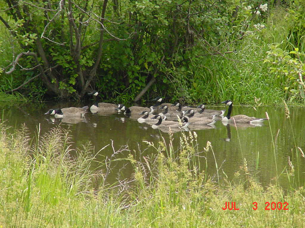
Click on photos below for enlargements:
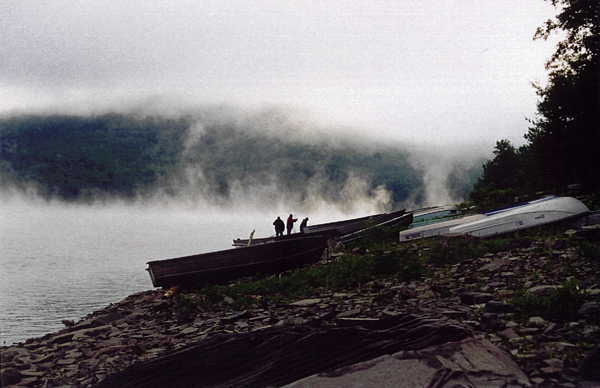
Esopus
Creek
Maps:
Bedrock
Geology
Glacial
Geology
Bank
Erosion
Hemlock
Wooly Adelgid Locations
Esopus
Creek Restoration Project Report (file size 14.5 MB)
Esopus
Creek Project Power Point (file size 16 MB)
Stony
Clove: Lanesville Demonstration Project
Intro
to Stream Management Plans
Watershed
Overview
Glacial
Geology Description
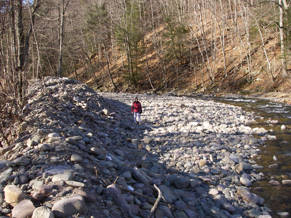
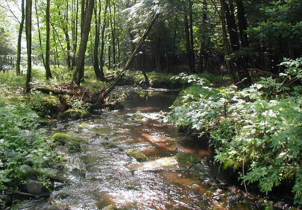
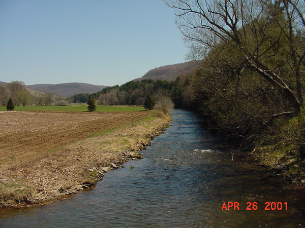
Click on photos below for enlargements:
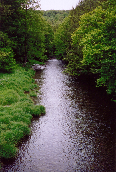
Rondout
Creek
Chestnut
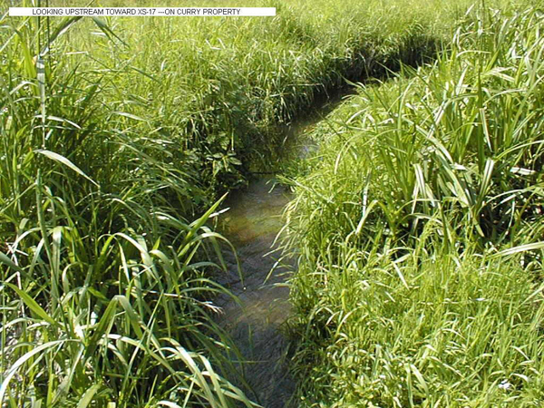
Creek: Town Hall Demonstration Site
Intro
to Stream Management Plans
Chestnut Creek Stream Management Plan
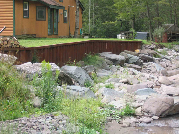
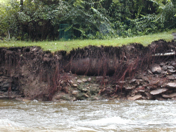
Click on photos below for enlargements:
Neversink
River
Intro
to Stream Management Plans
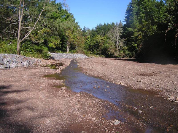
Click on photos below for enlargements: