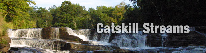
Rondout Creek Management Plan
The Rondout Creek Management Plan was designed as a comprehensive review of stream characteristics, data, maps and presents recommended management strategies. The management strategies consist of measures that can be taken individually and collectively to reduce the flood risks associated with living in the Rondout valley, improve the ecology of the stream and floodplain, while protecting the stream’s many resource values. Ultimately, the plan is meant to assist watershed municipalities and residents in planning for a sustainable future for their property, infrastructure, water and biological resources. Ensuring the health of the watershed’s environmental resources will also help to secure a future of prosperous economic growth and a good quality of life for watershed residents.
Upper Rondout Creek Stream Management Plan Summary (4.3 MB)
Section 1
Cover Page
1.0 Sugarloaf Brook Poem
1.1 Introduction
1.2 Guide
Section 2
2.1 Local History
2.2 Regional Setting
2.3 Hydrology and Flood History
2.4 Watershed Geology
2.5 Wetlands & Floodplains
2.6 Riparian Vegetation
2.7 Landuse/Landcover
2.8 Stakeholders
2.9 Fisheries & Wildlife
2.10 Recreational Opportunities
2.11 Agency Contacts and Program Resources
2.12 Permit Requirements
Section 3
3.1 Water Quality Assessment Photo Source: www.dvbphotography.com
3.2 Introduction to Stream Processes
3.3 Watershed Inventory & Assessment
Section 4
Introduction
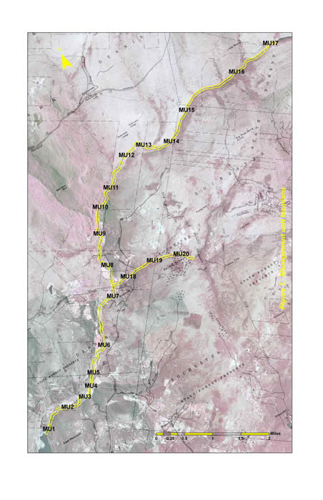
Management Unit 1
Management Unit 1 Maps
Management Unit 2
Management Unit 2 Maps
Management Unit 3
Management Unit 3 Maps
Management Unit 4
Management Unit 4 Maps
Management Unit 5
Management Unit 5 Maps
Management Unit 6
Management Unit 6 Maps
Management Unit 7
Management Unit 7 Maps
Management Unit 8
Management Unit 8 Maps
Management Unit 9
Management Unit 9 Maps
Management Unit 10
Management Unit 10 Maps
Management Unit 11 through 16
Management Unit 17
Management Unit 17 Maps
Management Unit 18
Management Unit 18 Maps
Section 5 - Demonstration Projects
Summary of MU Recommendations
Summary of MU Recommendations Table
Infrastructure Recommendations
Rondout Creek Demo Project
Section 6
Top 10 Recommendations
General Recommendations
Section 7
Plan Implementation
Section 8
Glossary
Acknowledgements
Appendix: Rondout/Neversink Action Plan, 2010-2012
Program Contact
Karen Rauter
Stream Program Coordinator
Sullivan County Soil & Water Conservation District
PO Box 256,
Grahamsville, NY 12470
Phone: (845) 985-2581
Email: krauter@rondoutneversink.org
|
|
|