Managing Streams
Streams constantly change in response to water, sediment, plants, and the surrounding land. Stream management protects water quality, reduces erosion and flood damage, preserves infrastructure, and supports healthy watersheds. People who live, work, or recreate near streams benefit from knowing how they function so they can help keep them healthy. Effective management means respecting natural stream processes and working with them.
You may have noticed that some sections of the river change little from year to year. Even after large floods, some areas experience only minor erosion or minimal gravel accumulation. These sections, or reaches, of rivers are referred to as “naturally stable.” A reach becomes stable by adjusting its size and shape to a form that can pass the water and sediment delivered to it from its watershed, without either filling up with gravel or excessively eroding. A stable river is thus said to be in balance, or in equilibrium, with five governing landscape variables:
Natural Tendencies of Rivers
Watershed Size and Cover
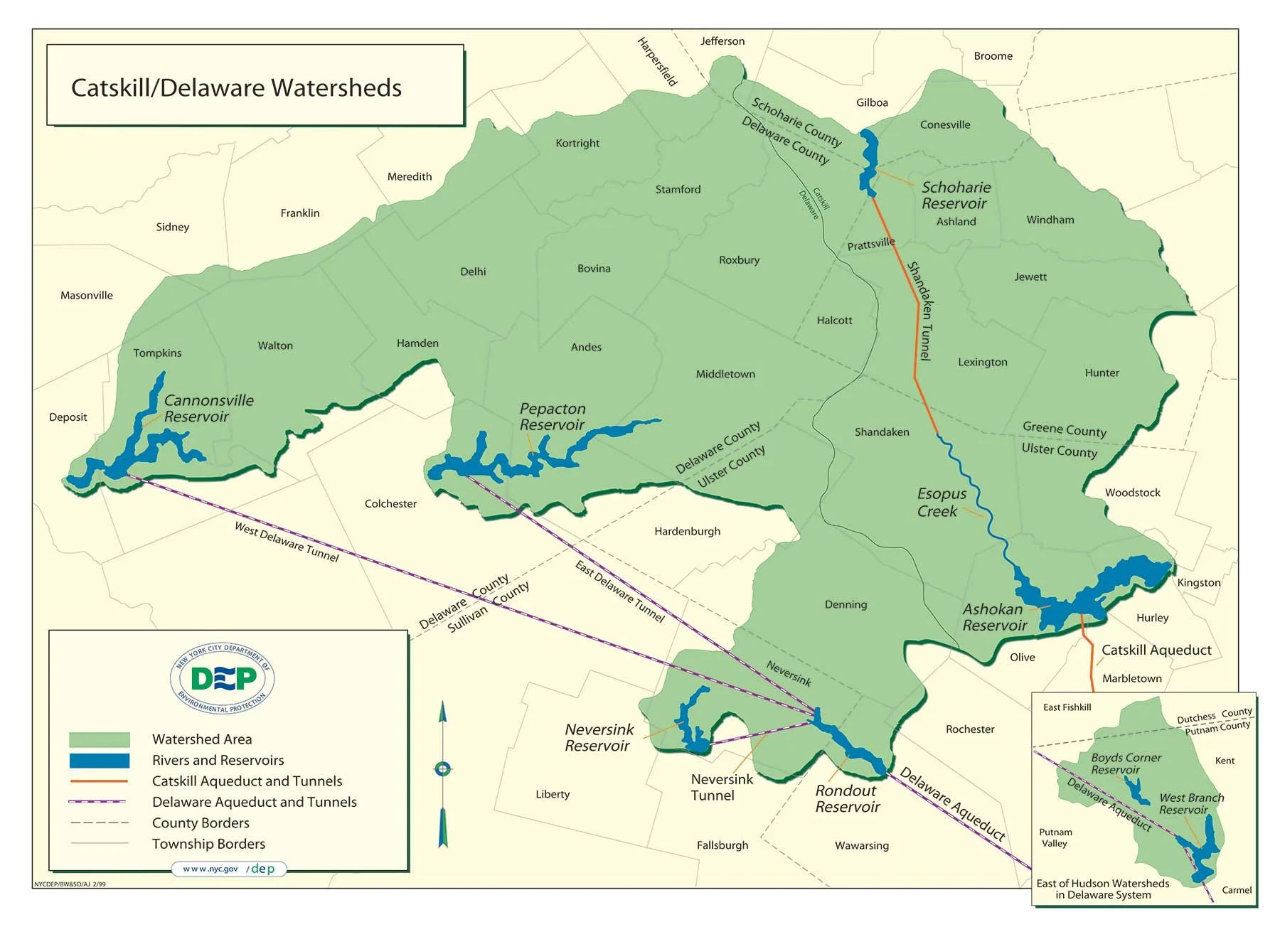
A watershed is an area of land where any surface water flowing within its boundaries will eventually flow toward a single common outlet, such as a reservoir outlet, a lake, or a point along a river channel. Watersheds are also sometimes referred to as drainage basins. The size of a river's watershed directly impacts the volume of water and sediment that enters the river.
Ashokan Reservoir
Located in Ulster County, about 13 miles west of Kingston and 73 miles north of New York City, Ashokan Reservoir is formed by the damming of the Esopus Creek, which eventually flows northeast and drains into the Hudson River. Consisting of two basins separated by a concrete dividing weir and roadway, the reservoir holds 122.9 billion gallons at full capacity and was placed into service in 1915.
Schoharie Reservoir
Located at the intersection of Schoharie, Delaware and Greene Counties, about 36 miles southwest of Albany and roughly 110 miles from New York City, Schoharie Reservoir is formed by the damming of the Schoharie Creek. Schoharie Creek continues north and eventually drains into the Mohawk River, which flows into the Hudson north of Albany. Schoharie Reservoir consists of one basin, almost 6 miles in length and holds 17.6 billion gallons at full capacity. It was placed into service in 1926.
Cannonsville Reservoir
Located at the western edge of Delaware County, southwest of the Village of Walton and about 120 miles northwest of New York City, Cannonsville Reservoir is formed by damming the West Branch of the Delaware River, which continues south and becomes part of the lower Delaware River, the border between New York and Pennsylvania. It was placed into service in 1964 and holds 95.7 billion gallons at full capacity.
Neversink Reservoir
Neversink Reservoir is located in Sullivan County, approximately five miles northeast of the Village of Liberty and more than 75 miles from New York City. It is formed by the damming of the Neversink River, which continues south and eventually drains into the lower Delaware River. It holds 34.9 billion gallons at full capacity and was placed into service in 1954.
Rondout Reservoir
Rondout Reservoir straddles the Ulster/Sullivan County border along the southern edge of the Catskill Park, approximately 6 miles northwest of the Village of Ellenville and more than 65 miles northwest of New York City. It is formed by the damming of Rondout Creek, which continues northeastward and eventually drains into the Hudson River at Kingston. It consists of one basin, almost 6.5 miles long and holds 49.6 billion gallons at full capacity. It was placed into service in 1950.
Precipitation Patterns
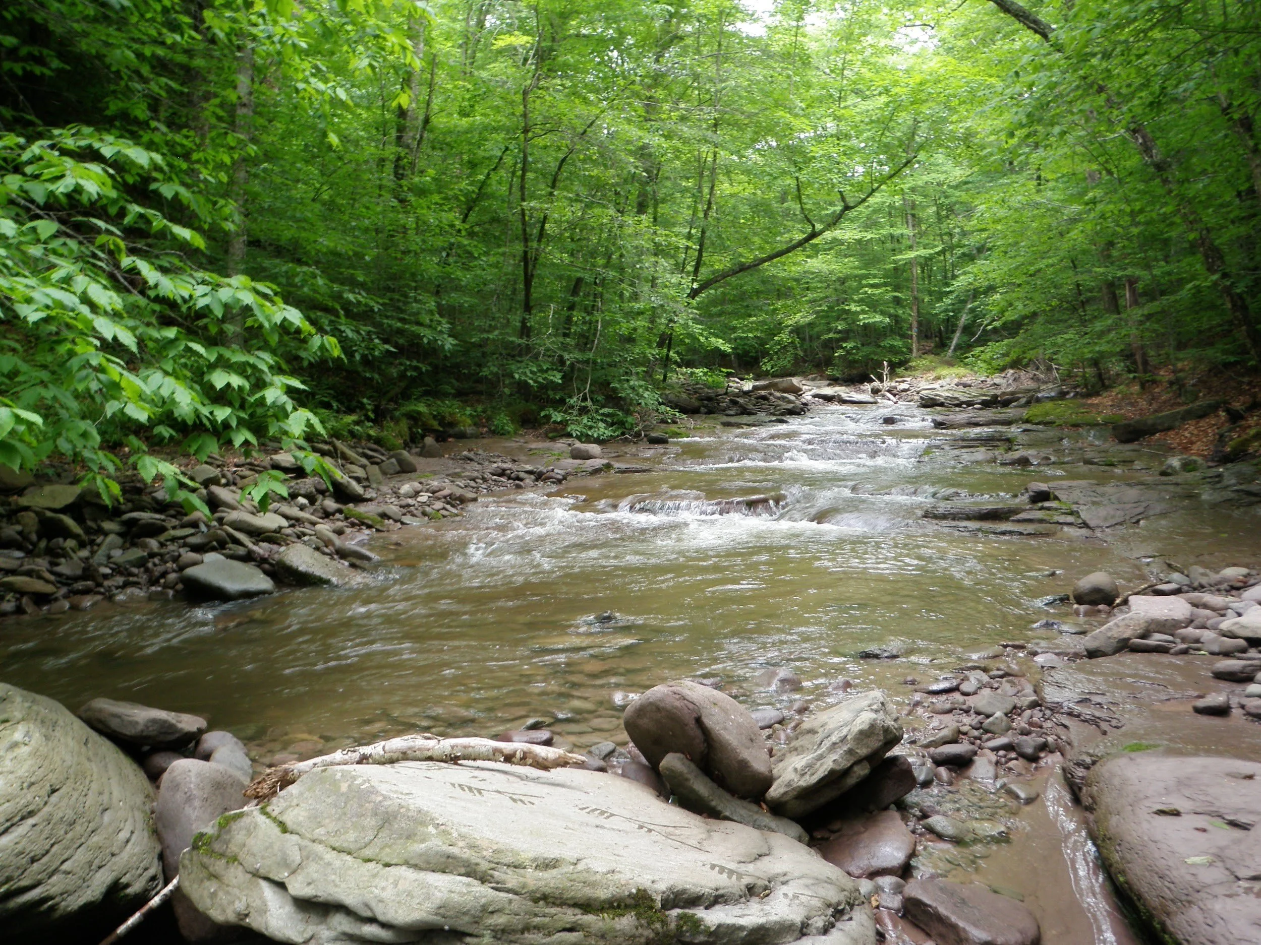
The amount and timing of precipitation within a watershed has a major impact on streamflow. The pattern of runoff from rain and snow events within a watershed is a major influence on streamflow. When it rains or snows anywhere within a watershed, the runoff will flow to the river. This means that even if rainfall occurs tens of miles away from a river channel, as long as the rain falls within the watershed, the precipitation runoff will still eventually influence the volume of water flowing within the river channel.
The type, frequency, and duration of precipitation within a watershed will influence the reaction time and volume of the river's flowing waters. Long term precipitation patterns will influence the river's size and shape and will help determine the stable form of the river channel.
Streambed and Bank Strength
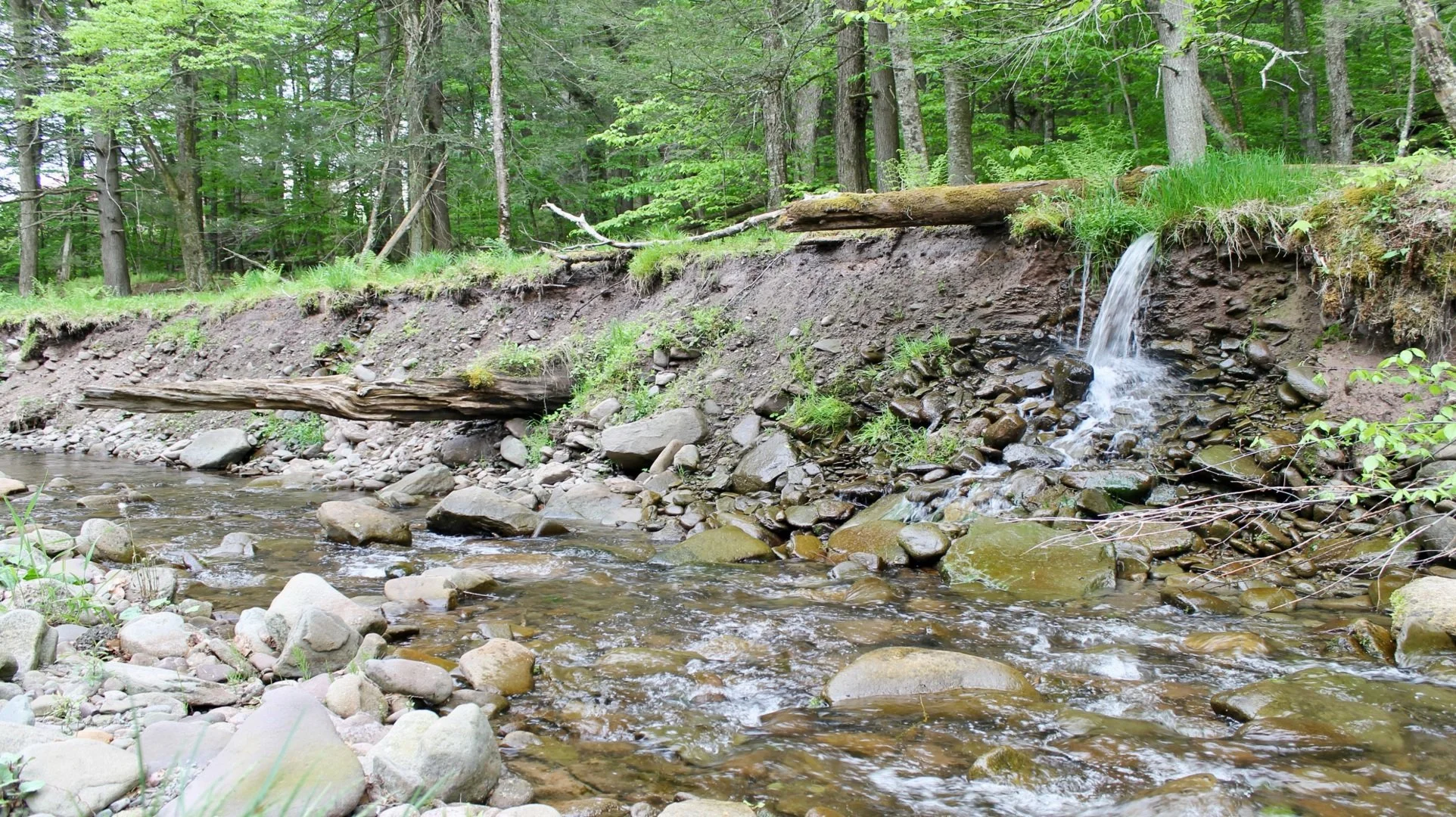
The ability of the streambed, stream banks, and floodplain to resist erosive stream flows. This is largely determined by the type of vegetation present, the vigor of the root system that binds the soil, and the geologic material.
In a naturally stable river, the boundary of the river channel--its bed and banks, and in large flows, its floodplain-- are subject to the forces of flowing water and sediment. The ability of these channel boundaries to resist those erosive forces determines how stable the streambed and banks are over time.
A great variety of materials form the bed and banks of modern-day Catskills streams: bedrock, boulders, cobble and gravel, mixed soils left by the glaciers, or highly cohesive clays formed in ancient lake beds. In the Catskills landscape, the root systems of bank vegetation also provide critical strength to streambank and floodplain soils.
Mature woody vegetation in particular is a critical component of a stable stream system. When woody vegetation is removed from the bank and floodplain, the risk of streambank erosion and sudden catastrophic channel shifts rises dramatically.
Valley Slope and Width
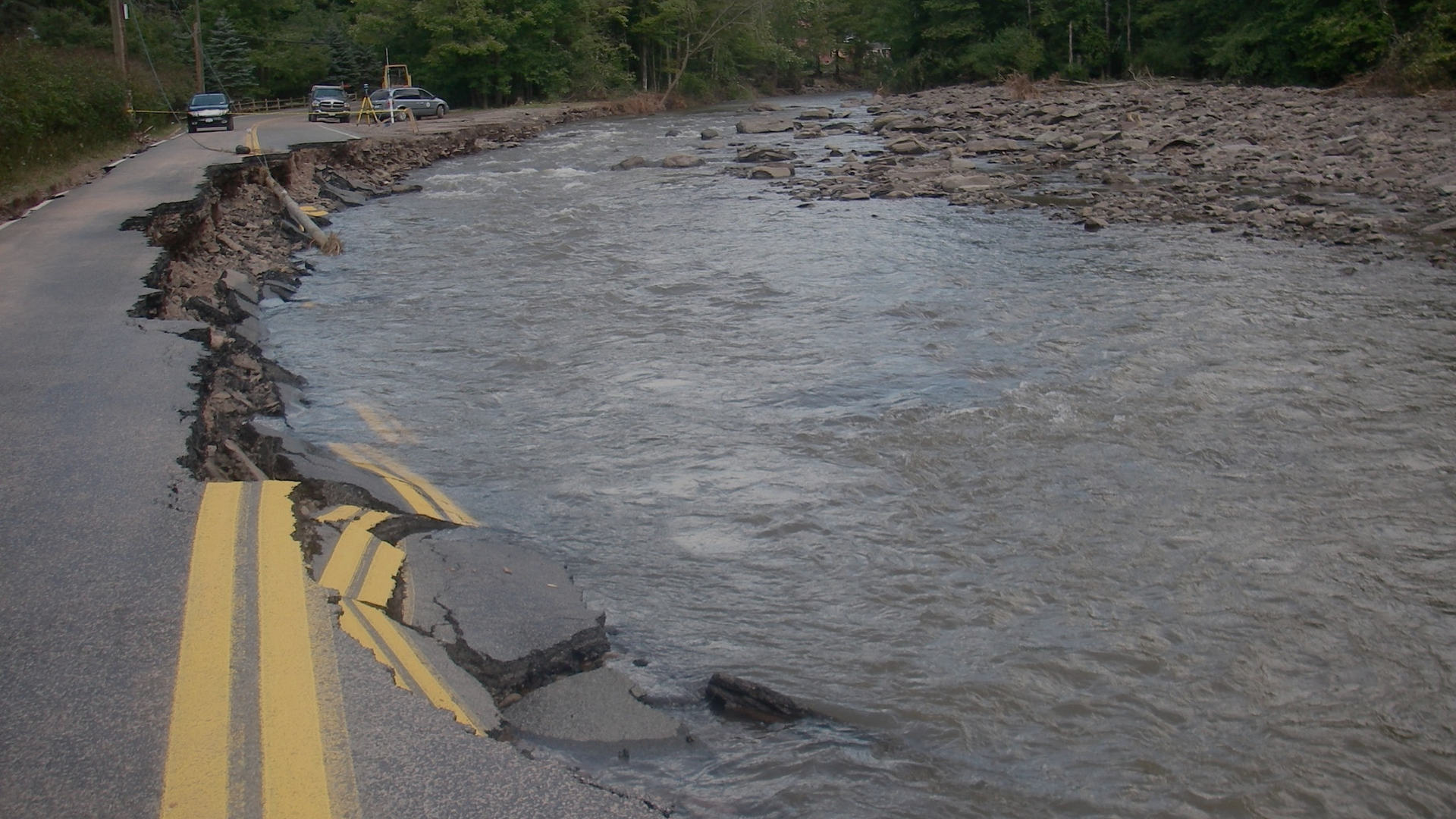
Rivers in the Catskills run through valleys shaped by millions of years of geologic and climatic evolution, most recently by the glacial period that ended some 12-15,000 years ago. The slope and width of the valley floors left by the glaciers set the boundaries for the natural shifting of today's rivers.
Where a river's valley narrows or steepens, higher flows are confined and their power concentrated, and the stable river channel form will also be straighter and steeper. Where a valley broadens, the river may use the full width of the valley floor as its floodplain and become wider and more meandering.
In valleys where development encroaches on the floodplain and the river must share the valley floor with roads, rail lines or buildings, the river will adjust itself through erosion and deposition until it finds a stable form within the narrower valley width available to it.
Sediment Size & Volume
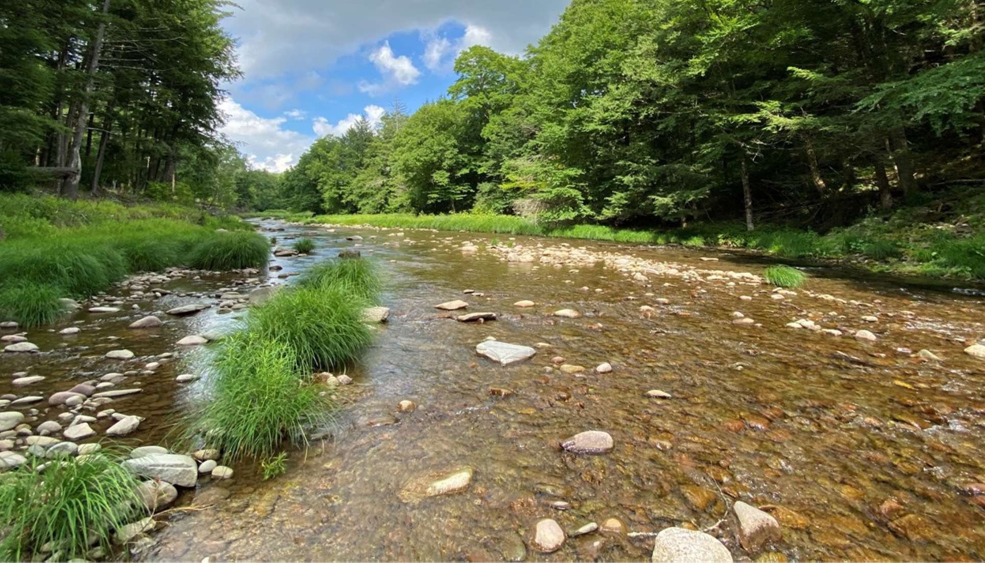
The size and amount of sediment being delivered to the river from upstream and from its own banks and adjacent hillslopes: from fine silt and sand up to large boulders.
For a stream to remain stable over time, it must be able to transport both the sediment as well as the water generated from its watershed, from eroding hillslopes and from the channel bed and banks themselves. Sands and silts may begin to move through the river system at relatively low flows.
Large storm events on the other hand, often put the entire channel bed in motion, moving even large boulders downstream through the stream system. Over years and decades, an unstable reach of the river will evolve through a sequence of self-adjustments to its channel and floodplain dimensions, until its power to move sediment is in balance with the size and volume of sediment delivered from upstream.
Stream Management Practices
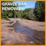
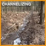
Concrete or sheet piling, gravel bar removal and channelizing can have a negative result on streams if used without great caution. *Limit use to critical areas.

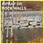
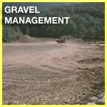
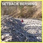
Riprap or rock walls, gravel management and setback berming can have positive results on streams if used with some caution.
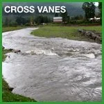
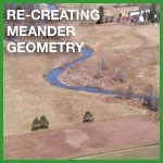
Bioengineering, cross vanes, and recreating meander geometry often has positive results on streams if applied correctly.
*Can have negative results if used without caution.

Floodplains
Flooding is a natural and necessary part of a healthy river system, even if disruptive and sometimes dangerous to riverside communities. Relatively small floods happen fairly frequently. Larger, more severe floods typically happen less frequently, but ultimately can happen at any time, or even multiple times in the same year. While flooding is a natural occurrence, it may erode streambanks, damage public roads and bridges, and private property, cut off access to emergency services, and put residents in harm’s way. As first responders during and after floods, municipal officials are on the front lines of stream management, protecting the safety of residents, as well as public and private property. Flooding and erosion can lower private property values.
Trout Unlimited Stream Basics:
“Streams use floodplains to slow and weaken flood waters: A floodplain is the flat, low-lying land adjoining a stream. When a stream overruns its banks, the floodplain allows the high water to spread out and slow down.
Flood damages are related to stream power: The deeper and faster water is, the more power it has to erode property and move material. Digging a channel deeper and straighter increases the power a stream has to cause damage.
Trees and shrubs stabilize stream banks and slow water down: Roots provide structure and stability to stream banks and prevent erosion, under both normal and flood conditions.
Poorly designed bridges and water crossings cause extreme flood damage: When a bridge or other water crossing narrows the stream channel, it may become blocked with storm debris, high water or gravel. This blockage can back up the fast-flowing water and cause significant structural damage to the bridge and other structures.
Man-made problems last for generations: Dangerous flooding will persist for years on a stream that has been straightened, dredged or otherwise disconnected from its floodplain.”
Links and Resources
Watershed Associations
Floodplains
USDA/NRCS – Emergency Watershed Protection Program: The Emergency Watershed Protection Program (EWP) was set up by Congress to respond to emergencies created by natural disasters. It is designed to relieve imminent hazards to life and property caused by floods, fires, windstorms, and other natural occurrences.
Floodsmart gives a rating of flood risk as well as a variety of other information for local landowners.